
Introduction
Details
Latest version
v1.5.7.834
v1.5.7.834
Developer
Aescripts
Aescripts
Updated on
August 11, 2024
August 11, 2024
License
Paid
Paid
Advertisement
No ads
No ads
OS System
Windows
Windows
Language
Multilanguage
Multilanguage
Downloads
412
412
Rating
__
__
Website
__
__
Download
AEScripts GEOlayers 3 for After Effects
13.1 MB v1.5.7.834
Decompression password: 123 or hisofts.net
Broken or outdated link? report
Similar Software


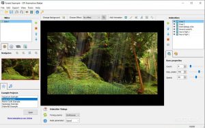
DP Animation Maker 3.5.30
25.3 MB