
Introduction
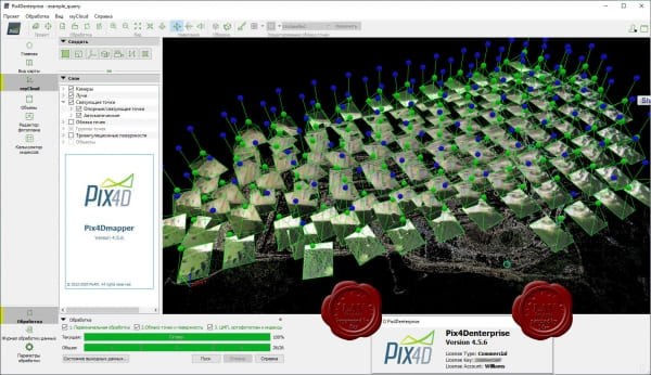
Pix4Dmapper Enterprise is a professional photogrammetry software designed for creating high-precision 2D maps and 3D models from aerial and ground images. Developed by Pix4D, it caters to enterprise-level users, including those in industries such as surveying, construction, agriculture, mining, and inspection.
Key Features:
- Image Processing: Pix4Dmapper Enterprise uses advanced algorithms to process images captured by drones or handheld cameras, converting them into accurate georeferenced maps, orthomosaics, point clouds, and 3D models.
- Multiple Outputs: The software supports various outputs such as Digital Surface Models (DSM), Digital Terrain Models (DTM), contour lines, and volume measurements, which are essential for surveying, planning, and analysis.
- Scalability: It is designed for large-scale projects, enabling users to process vast amounts of data efficiently, which is critical for enterprise applications.
- Accuracy: Pix4Dmapper Enterprise ensures high accuracy by supporting Ground Control Points (GCPs) and utilizing advanced calibration and adjustment techniques.
- Integration: The software integrates seamlessly with other GIS and CAD tools, allowing for smooth workflow transitions and data exchange between different platforms.
- Cloud Processing: In addition to desktop processing, Pix4Dmapper Enterprise offers cloud-based processing, which allows teams to collaborate and share data easily across different locations.
- Automation: The software includes automation features like batch processing, which helps in managing repetitive tasks and enhances productivity in large projects.
- Customization: Users can customize the processing workflow and parameters according to their specific project requirements, providing flexibility in how data is processed and analyzed.
Applications:
- Surveying and Mapping: Creating accurate topographic maps and models for land surveying.
- Construction: Monitoring progress, measuring volumes, and conducting site inspections.
- Agriculture: Analyzing crop health, planning irrigation, and managing fields.
- Mining: Calculating stockpile volumes, monitoring site changes, and planning extraction.
- Infrastructure Inspection: Inspecting and modeling structures like bridges, dams, and buildings.
Pix4Dmapper Enterprise is a robust solution for enterprises needing precise, reliable, and scalable photogrammetry tools, offering comprehensive features for a wide range of industries.
Details
Latest version
4.5.6
4.5.6
Developer
Pix4D
Pix4D
Updated on
August 11, 2024
August 11, 2024
License
Paid
Paid
Advertisement
No ads
No ads
OS System
Windows
Windows
Language
Multilanguage
Multilanguage
Downloads
490
490
Rating
__
__
Website
__
__
Download
Pix4Dmapper Enterprise
417 MB 4.5.6
Decompression password: 123 or hisofts.net
Broken or outdated link? report
Similar Software
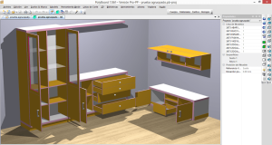
PolyBoard 7.09a
22.7 MB
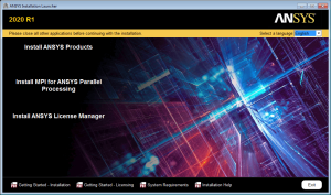
ANSYS Products 2024 R1.03 (SP3)
7.46 GB
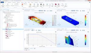
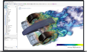

DS SIMULIA Suite 2024
19.8 GB

Chaos V-Ray 6.10.08 for 3DS Max
1.26 GB
PVsyst 7.4.7.37278
281 MB