Introduction
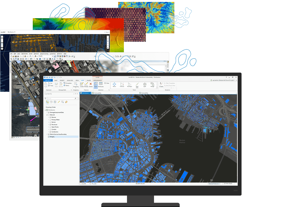
ESRI ArcGIS Desktop is a comprehensive geographic information system (GIS) software suite designed for mapping, spatial analysis, data management, and visualization. Here’s a detailed introduction to ArcGIS Desktop:
Components of ArcGIS Desktop
- ArcMap:
- ArcMap is the main application in ArcGIS Desktop for creating, viewing, querying, analyzing, and presenting geographic data.
- It provides a traditional desktop GIS environment with tools for map creation, editing, geoprocessing, and layout design.
- ArcCatalog:
- ArcCatalog is used for managing and organizing spatial data files, geodatabases, raster datasets, and metadata.
- It allows users to browse, search, preview, and manage GIS resources within a project.
- ArcToolbox:
- ArcToolbox provides access to a wide range of geoprocessing tools for spatial analysis, data conversion, and data management tasks.
- Users can execute tools either through ArcToolbox or directly within ArcMap for various operations like buffering, overlay analysis, and spatial statistics.
Key Features and Capabilities
- Spatial Analysis: ArcGIS Desktop offers powerful spatial analysis capabilities such as overlay operations, proximity analysis, raster analysis, and surface analysis.
- Mapping and Visualization: Users can create high-quality maps with customizable symbology, labels, annotations, and layouts using ArcMap’s cartographic tools.
- Geodatabases: It supports geodatabases for storing and managing spatial data efficiently, including feature classes, raster datasets, and metadata.
- Data Interoperability: ArcGIS Desktop can work with various data formats including shapefiles, geodatabases, CAD files, and web services, facilitating data integration from different sources.
- Geoprocessing: ArcToolbox includes hundreds of geoprocessing tools for automating workflows, performing spatial analysis, and manipulating GIS data.
- Extensions: Additional functionality can be added through extensions like Spatial Analyst, 3D Analyst, Network Analyst, and Geostatistical Analyst, which provide specialized tools for specific tasks.
Workflow in ArcGIS Desktop
- Data Preparation: Import, manage, and organize spatial datasets using ArcCatalog, ensuring data integrity and accessibility.
- Analysis and Modeling: Perform spatial analysis and modeling tasks using ArcMap and its geoprocessing tools to derive insights from geographic data.
- Mapping and Visualization: Create maps that effectively communicate spatial information, using ArcMap’s layout tools for presentation and publication.
- Data Sharing: Share maps, data, and analysis results through various formats including PDFs, web maps, and ArcGIS Online for collaborative projects and public dissemination.
Applications
ArcGIS Desktop is widely used across various industries including environmental science, urban planning, public health, transportation, natural resource management, and government administration. It helps professionals analyze spatial relationships, make informed decisions, and solve complex spatial problems.
Licensing
ArcGIS Desktop is available under different licensing levels (Basic, Standard, Advanced) with varying capabilities and pricing, tailored to different user needs from individual users to large organizations.
Learning and Resources
ESRI provides extensive documentation, tutorials, and training resources through ESRI Academy, user forums, and online communities to help users learn and leverage the full potential of ArcGIS Desktop.
Overall, ArcGIS Desktop remains a leading GIS software solution due to its robust functionality, scalability, and broad applicability across diverse fields requiring spatial data analysis and mapping capabilities.
Details
__
__
July 14, 2024
Paid
No ads
Windows
Multilanguage
548
__
__
Download

